
Yorkville ZIP Geography at a Glance
Yorkville commonly uses 60560 as its postal identity, including at City Hall and county offices. That does not make the ZIP a city boundary. Census results also show several ZCTAs touching or overlapping Yorkville's municipal geography. A ZCTA is a Census statistical area, not a USPS assignment for every street inside it.
| ZIP Code | Areas Covered | Post Office | Notes |
|---|---|---|---|
| 60560 | Common Yorkville mailing identity | Yorkville Post Office | Verify each street with USPS |
| 60506, 60512 | Census areas touching the city query | Street result controls | ZCTA overlap only |
| 60541, 60543 | Census areas touching the city query | May use nearby postal labels | Not universal Yorkville ZIPs |
| 60545, 60554 | Census areas touching the city query | May use Plano or Sandwich labels | Confirm street and mailing city |
The Census overlap list is useful for statistical analysis, but it cannot replace the USPS ZIP Code Lookup. Keep a separate column for the Census ZCTA and the current USPS mailing result. That small choice prevents a statistical boundary from becoming a false mailing label.
Yorkville 60560 Is Postal
The ZIP 60560 appears on official Yorkville addresses such as City Hall, the Clerk and Recorder, the Assessor, and the courthouse. It is still a postal routing fact. A parcel may carry Yorkville as its mailing city while its municipal or township field tells a different jurisdictional story.
Do not use the ZIP code directory to decide which city office holds a record. First verify the street through USPS. Then check County GIS for the parcel municipality and township. If a municipal permit or zoning file is needed, use the jurisdiction shown by the official map and custodian.
Keep fields separate. Record the site address, site ZIP, owner mailing address, municipality, township, and PIN as distinct facts.
Verify Yorkville ZIP Codes
The official USPS tool accepts a street with city and state, or a ZIP for broader postal information. The inspected page did not yield a reusable street result, so no street-specific assignment should be inferred from the city boundary or a Census table.
The USPS ZIP Code Lookup is the required source for a current mailing-city and ZIP check.
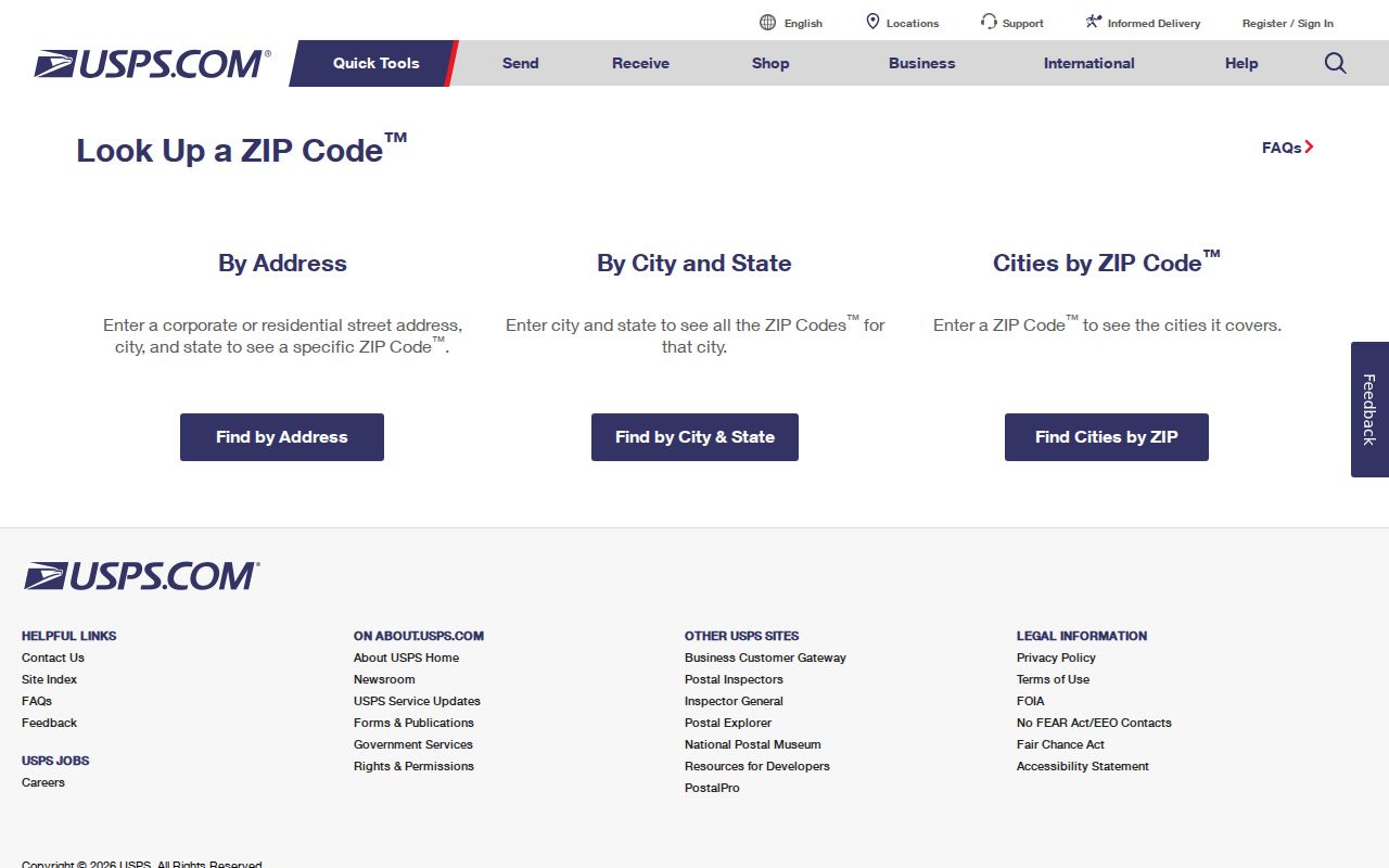
The captured entry point shows where to begin. Save the exact street submitted, the returned mailing city and ZIP, and the date checked. Postal data can change.
For help routing a question, the City of Yorkville lists the Yorkville Post Office at 630-553-7100. A phone call may explain postal service, but the live USPS street result remains the stronger citation.
Yorkville ZCTAs Are Not ZIPs
The Census Yorkville-city query identifies 60506, 60512, 60541, 60543, 60545, and 60554 as ZCTAs that fall fully or partly within the municipal geography. These codes support Census tables and mapping. They do not say that every address in those areas has Yorkville as the postal city.
Nearby postal labels can point to Aurora, Montgomery, Oswego, Plano, Sandwich, or another community even when a Census overlay touches Yorkville. Preserve that mismatch instead of forcing one label across all sources.
Question: Can a Yorkville municipal parcel use another mailing city? Yes. Postal routing and legal municipal geography serve different systems, so verify both rather than treating either as an error.
Search Yorkville Records by ZIP
A ZIP can narrow an official search, but it should remain a filter. It does not prove that a result belongs to a current resident or even to the same municipality. Start with the current postal code, then add a name, address, parcel, or record type.
- Verify the street's mailing city and ZIP with USPS.
- Search County GIS by site address or PIN, then copy the municipality and site ZIP separately.
- Choose a ZIP-capable official record search only when its record relationship answers the question.
- Compare the result with an independent address, date, or identifier.
- Keep the search date and any stale-data warning with the result.
When the area is narrow enough for address work, the Yorkville street directory covers the parcel and street-level record chain.
Yorkville ZIP Fields in GIS
Kendall County GIS offers a better geographic check than a ZIP alone. Its Quick Lookup accepts a PIN with or without hyphens and a site-address autocomplete search. Parcel results can include site city and ZIP, owner or mailing city and ZIP, municipality, township, parcel type, acres, legal notes, and document fields.
| GIS field | Input type | Required | Use in ZIP research |
|---|---|---|---|
| PIN | Text | Optional | Identifies the parcel; hyphens optional |
| Site address | Autocomplete | Optional | Locates the mapped property |
| Site city and ZIP | Result | Not applicable | Describes the mapped site fields |
| Owner mailing city and ZIP | Result | Not applicable | Administrative mailing data, not the site |
| Municipality and township | Result | Not applicable | Shows civic geography apart from ZIP |
The parcel layer is not a survey and its historic document coverage before 2020 is limited. For the legal parcel, take the PIN or document number to the Recorder's deed or plat records.
ZIP Filters in Yorkville Name Search
The Illinois Treasurer's I-Cash search is a clear example of how ZIP works in a public name tool. Last name or business name is required. First name, city, ZIP, and property ID are optional fields. A selected result moves into a claim process with relationship and supporting documents.
| Last or business name | Required search text |
|---|---|
| First name | Optional name filter |
| City | Optional place filter |
| ZIP | Optional postal filter |
| Property ID | Optional record identifier |
An I-Cash result means Illinois holds or reports unclaimed property under its process. The city and ZIP can be old. The result is not proof of current residence, and the official claim route is free.
Date Every Yorkville ZIP Source
USPS routing, Census ZCTAs, county parcel attributes, ward maps, and city development maps can have different update dates. Yorkville's city mapping page publishes current 2026 resources while retaining historic maps from 2019 through 2024. A correct statement in one map year may not fit another.
Write the year beside a map citation and the search date beside a live portal result. If the parcel and mailing fields disagree, preserve both and ask the right custodian. Do not silently choose the label that looks most familiar.
Note: ZIP research is strongest when each source keeps its date, jurisdiction, and exact field name.
Yorkville Address Custodian Chain
No separate public E911 address-assignment portal or citywide renumbering crosswalk was found. Inside municipal limits, City Building and Zoning or Community Development can route an official address question. For unincorporated land, begin with County GIS, assessment, or the relevant township and county office.
Existing address maps or files may be requested from the responsible agency under Illinois FOIA. Historical work belongs with Sanborn maps, atlases, old city maps, newspapers, plats, and deeds. Utility customer and delivery lists were not identified as public directory sources.
Yorkville ZIP and City Limits
A Yorkville ZIP code directory cannot draw the legal city boundary. USPS sorts mail, Census ZCTAs support statistics, and local GIS records municipal and parcel geography. Use the source that matches the question. For mailing, use USPS. For city services, zoning, or permits, use municipal GIS and the city office. For ownership and legal descriptions, use County GIS, the Assessor, and Recorder.
- ZIP and ZIP+4
- A five-digit routing area and its more precise four-digit delivery segment.
- PO-box ZIP
- A code used for post-office boxes, which may not describe street delivery.
- Unique ZIP
- A code assigned to one large organization or recipient rather than a general area.
- Carrier route
- A postal delivery path within a ZIP, not a city or parcel boundary.
The complete Yorkville-to-postal crosswalk remains unverified. Safe publication language names 60560 where an official address supplies it and calls the other codes Census ZCTA overlaps until USPS confirms a specific street.